
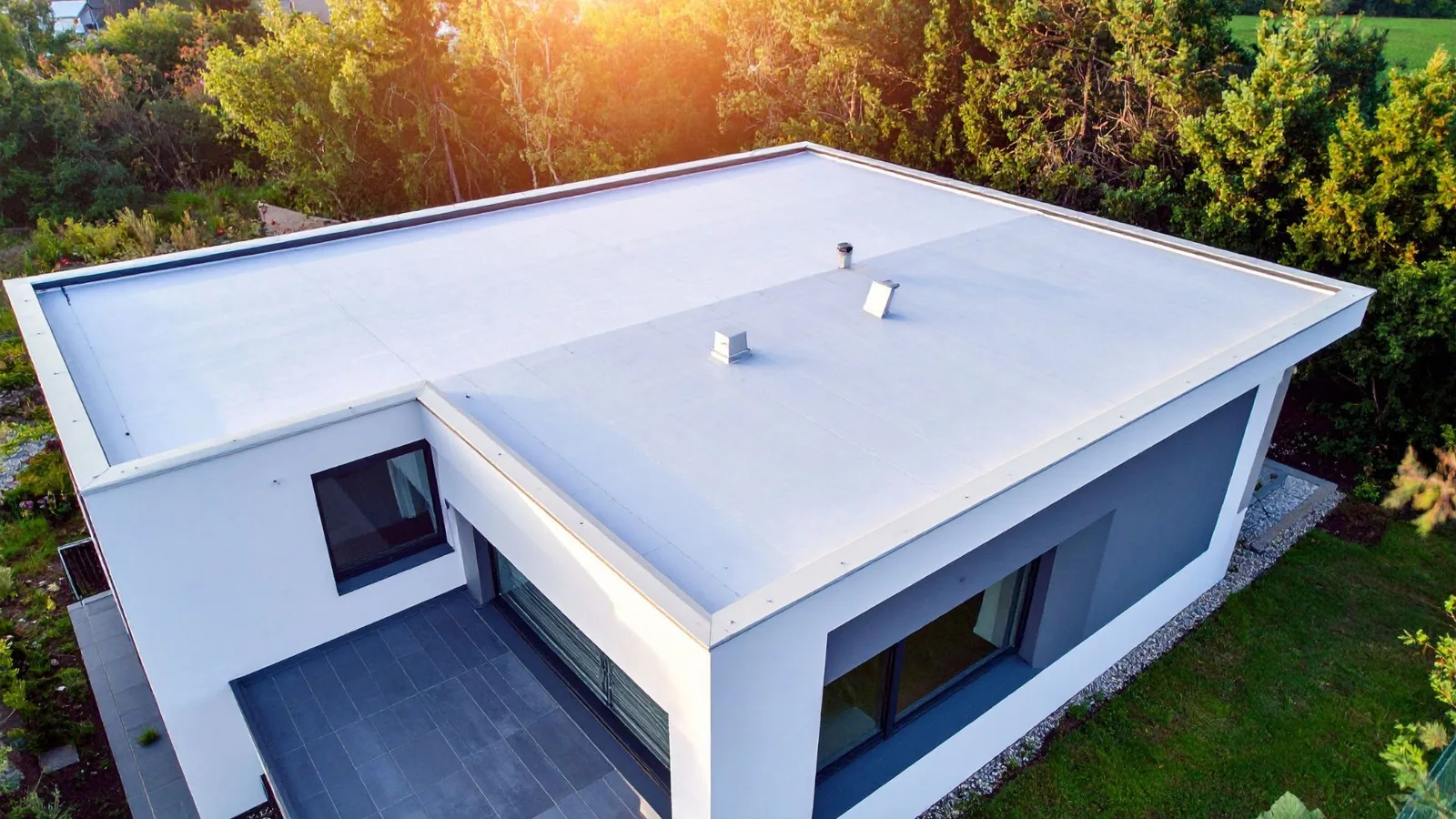
Drone Roof Inspection in Sherman, TX
Drone roof inspections for large and hard-to-reach commercial buildings in Sherman, TX, with high-resolution imagery, thermal capture and a mapped report.
Some roofs are too large, too steep or too fragile to walk end to end. A drone covers them in minutes. It rises above the building, flies a set pattern and records the surface in overlapping images. We then study those images the way we would study a surface from a ladder, only with a view of the whole plan at once. In Sherman, TX that matters for the large industrial and institutional buildings near the crossing of US 75 and US 82. The drone does not replace a hands-on check where seams need probing. It tells us where to spend our time on foot and which areas deserve a closer look.
The records matter beyond one visit. A flight today becomes the baseline for the next one, and the owner can see how a seam, a pond or a stain has changed over time.
Flying a Pattern That Covers Every Square Foot
A good flight is planned. We set altitude, overlap and speed so each image shares a margin with the next. That overlap lets software stitch the pictures into one map of the roof, with scale. Flights run in the early morning or late afternoon when the sun angle is low and shadows reveal texture without hiding detail. We avoid high wind, which shakes the camera and risks the aircraft. Commercial flights follow FAA rules, and we check airspace and the property boundary before launch. A second pass at lower height captures flashing, curbs and edge metal in close detail. The result is a set of images that can be zoomed from the whole roof down to a single fastener.
Ground control matters for measurement. We place a few marked points on the roof or tie the flight to known building corners, so the map holds true scale. With scale, we can measure ponded areas, count penetrations and size a proposed repair from the images alone, which cuts the number of site visits an estimate requires.
Reading Heat Patterns to Find Wet Insulation
A thermal camera adds a second view. Wet insulation holds heat longer than dry insulation, so after sunset a wet area stays warmer than its surroundings and shows as a bright patch. Flights for this purpose run in the evening, after a sunny day, with the roof dry on top. The thermal map then guides core cuts and meter checks, which confirm the finding. Thermal imagery is a screening tool, not a final answer, because standing water, fasteners and thick sections of insulation can create similar patterns. We pair the images with ground checks. Used this way, the drone shortens a moisture survey on a large plan from days to hours.
Timing is the main variable. A cloudy day, a wet roof or a recent coating changes how heat moves, and a flight under those conditions can mislead. We check the forecast, wait for a dry roof and fly again if the first pass gives unclear results. The aim is a thermal map that earns the owner's trust.
Surveying Storm Damage Without Climbing
After hail or wind, a drone gets eyes on a roof before anyone steps on it. That matters when decks may be weak or edge metal loose. The June 8, 2025 storm brought half-dollar-size hail to the area northwest of Denison and an EF1 tornado southwest of Sherman, and a flight after an event like that can show torn flashings, lifted panels and displaced gravel quickly. Hail bruising is harder to see at a distance, so we follow with a hands-on check of marked areas. For an owner filing a claim, dated imagery shows what the roof looked like after the event, and our report ties each image to a location. A confirmed hail damage repair then follows from those records.
Matching the Flight to the Building
Each building type calls for a different approach. A broad warehouse roof benefits from a full mapped flight with a grid of images. A metal roof with many ribs and fasteners needs low, angled passes to reveal fastener backout and panel movement. A multi-building site such as Progress Park, where the city's development corporation has assembled about 3,300 acres of industrial land, can be surveyed building by building in one visit. A college campus, such as Austin College (in Sherman since 1876), can be flown in one visit and its roofs ranked for the capital plan. Sloped roofs and church steeples can be seen without ladders. We choose the method that gives the owner the most useful data.
Edge conditions deserve a pass of their own. Coping caps, gutters and drip edges sit at the perimeter, where uplift begins, and a low-altitude run along the edge shows open joints and missing fasteners that a wide shot hides.
Delivering Images the Owner Can Use
The deliverable is a report, not a folder of pictures. It includes a stitched roof map, annotated images of every finding and a summary that ranks items by urgency. Owners receive the files in formats they can share with a lender, a buyer, a board or an insurer. Where a claim is likely, we keep the original images untouched alongside the annotated versions so the record is clear. The report points out which items need a hands-on inspection to confirm, and which can be scheduled for repair straight away. The same images become a baseline, so next year's flight shows what changed.
Large plans also gain a tidy way to track repairs. Each finding carries a number, and when the repair is complete, a second flight confirms the work against the same map.
Knowing What a Drone Cannot Do
A drone cannot press on a seam or feel a soft spot underfoot. It cannot confirm moisture without a core or a meter, and it cannot tell a cosmetic stain from active staining without a closer look. Flights can be limited by wind, rain, nearby airspace restrictions and property rules. We plan for those limits from the start and tell the owner what the flight will answer and what it will not. When the weather blocks a flight, we reschedule rather than fly in poor conditions. A flight is one tool in a set of tools, and the best results come from using it with a walk of the roof in Sherman or Denison.
Privacy and safety limits apply as well. We respect neighboring properties and keep the aircraft within sight of the pilot at all times.
Commercial Roofing Questions
How big does a roof need to be for a drone to make sense?
There is no hard cutoff. Large plans, steep slopes, fragile surfaces and multi-building sites gain the most. A small, safe roof is usually faster to walk. For roofs under a certain size, a quick walk with a camera is often the better choice.
Can the drone find leaks?
It finds likely sources, such as torn flashing, open seams or wet insulation patterns. A leak is confirmed with a water test or a meter on the roof. Thermal imagery narrows the search, and that saves time on the roof.
Do I need to be on site for a flight?
A property contact helps with access and safety rules. The flight itself takes little time, and the owner does not need to watch it.
Will tenants be bothered by the flight?
Drones are quiet at height, and flights run outside peak hours when possible. We coordinate with the property contact first. Notice of the date helps tenants plan, and we share it with the property contact.
How fast is the report ready?
Image processing takes hours, and the findings review takes longer. We give a date when we schedule the flight.
Send the Building List and Access Details
Tell us which roofs need to be seen and how to reach them. We will plan the flight, capture the images and send a mapped report.
Related Roofing Work
Infrared Moisture Survey
Infrared and core-cut moisture surveys for commercial roofs in Sherman, TX, mapping wet insulation so repair and replacement dollars go where water sits.
Hail Damage Roof Repair
Hail damage roof repair in Sherman, TX: find bruises, fractured membranes and dented metal with moisture scans and core samples, then repair and document.
Progress Park
Commercial roofing in Progress Park, Sherman, TX: scans, seam repair and recovers for food, beverage and metals plants, with baseline surveys for new buildings.
Commercial Roof Inspection
Hands-on commercial roof inspections in Sherman, TX, with photographed findings, moisture checks and a ranked list of repairs and budget timing for owners.